We arrived at the Mesa
Verde RV Resort in Mancos, Colorado and stayed for four days. While we were
here we went to Mesa Verde National Park, but also drove to Durango and took a
train up to Silverton. And after our short stay in Mancos, we drove to Pagosa
Springs and stayed for a week at the Pagosa Riverside RV Campground on the San
Juan River.
MESA
VERDE NATIONAL PARK
It was only a ten minute drive from the RV Park
to Mesa Verde National Park. From the many sites located here and in the
surrounding Four Corners region of New Mexico, Arizona, Utah, and Colorado,
archeologists have compiled one of the most significant chapters in the history
of ancient America. Today the park protects nearly 5,000 known archeological
sites, including 600 cliff dwellings.
Mesa Verde, Spanish for green table, offers a spectacular look into the
lives of the Ancestral Pueblo people who made it their home for over 700 years.


Today it’s hard to
imagine the area filled with families growing crops of corn, squash, and beans;
chatting and weaving baskets; and conducting a lively trade with other
communities stretching across what is now the southwestern United States. And
yet at one time, this area was home to a culture called the Anasazi, now often
known as the Ancestral Puebloans. Its
people settled in the area in approximately A.D. 550, where they flourished.
Then some say they disappeared into the desert by around A.D. 1300.
 |
| Overlook to Spruce House |
But the people
didn’t completely disappear. Their descendants are the Hopi and Zuni, as well
as the Pueblo Indians of New Mexico. The remnants of their communities stretch
across national parks and monuments in the Four Corners states, including the
remains of villages of Mesa Verde National Park.


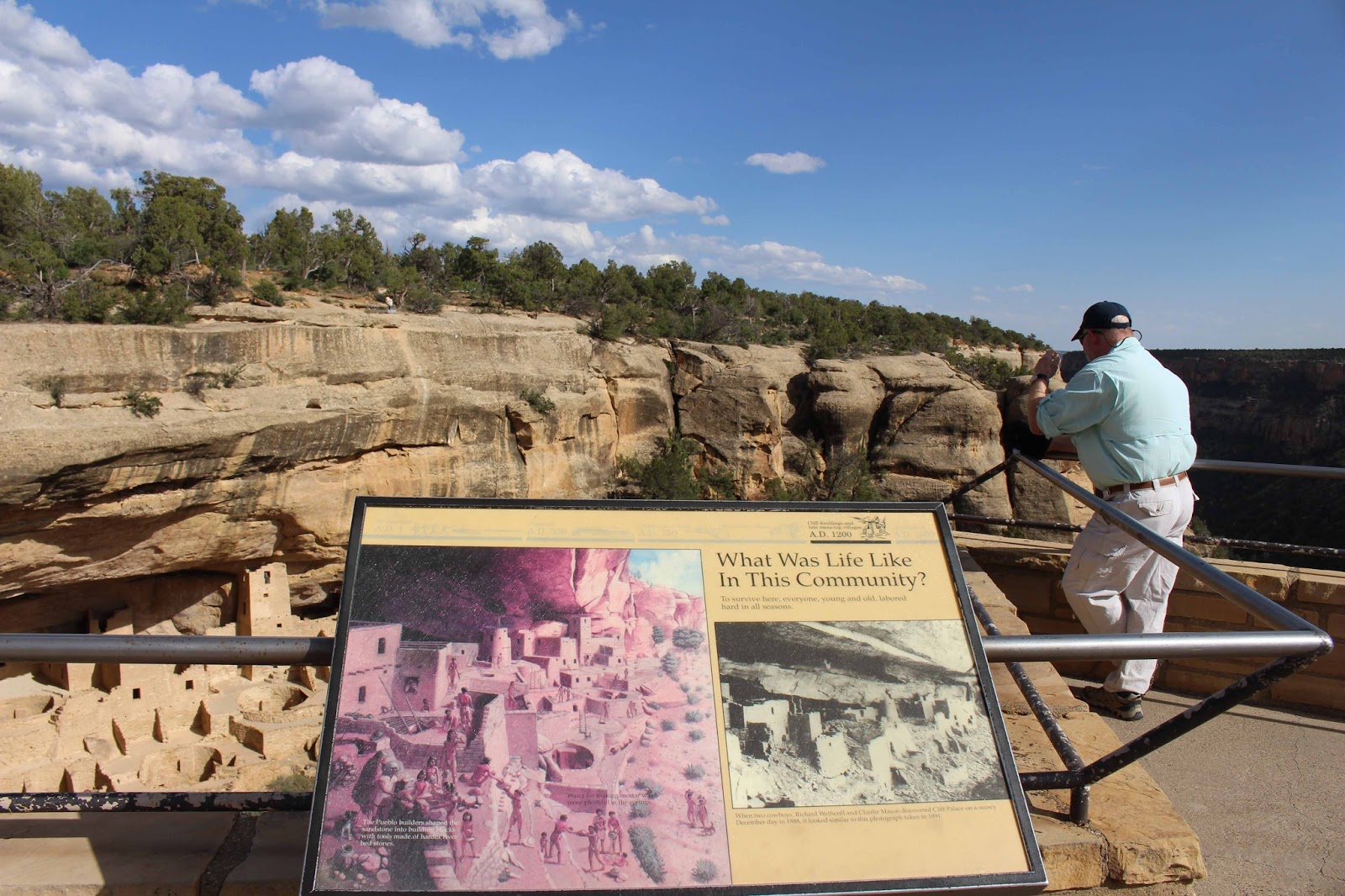
We arrived at the
Visitor Center and Chapin Mesa Archeological Museum for information. The cliff
dwellings at Mesa Verde are often considered some of the best sites for
exploring the history of the people who built them. The park includes hiking
trails, driving loop roads with scenic overlooks and climbing the ladders. Some
of the highest points in the park are Point Lookout at 8,427 feet and Park
Point Overlook at 8,572 feet. The Balcony House (the most adventurous cliff
dwelling), Cliff Palace (the park’s most famous cliff dwelling was undergoing
preservation work), and Long House require a ranger-guided tour which were not
available during our visit. One day is
not enough! Here are some of the overlooks:


We hiked a ½
mile from the Museum to see the Spruce Tree House, the park’s third largest and
best-preserved cliff dwelling which was occupied by Ancestral Pueblo people
between A.D. 1200 and 1280. The winding, paved trail includes a steep 100-foot
descent and ascent and is moderately strenuous, but worth it! Early explorers
named it for the towering Douglas-fir trees (historically referred to as spruce
trees) found in the canyon bottom below the alcove. The alcove is 216 feet long and 89 feet deep.
The cliff dwelling included 120 rooms, 10 associated ledge rooms, 8 kivas and
two towers. It was estimated that the peak population included about 19
households of 60-90 people. It was truly amazing to see and wonder how
something like this could be built in ancient times.


Mike was feeling
adventurous, so we decided to take a 2.4 mile hike on the Petroglyph Point
Trail that leads to a large petroglyph panel. The trail took us through a forest of
slow-growing pinon pine and juniper trees, yucca, Utah serviceberry,
choke-cherry and Gambel oak. It was strenuous as we hiked with our hiking poles
along rim rock bluffs, climbing up in elevation with grand views of the valley
below. At one point we came to steps carved into the canyon wall that lead up
to the mesa above. The first step was made for a giant as Mike had to pull
Sharon up! The views were spectacular!


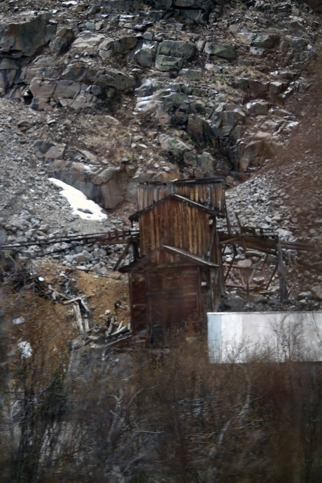
DURANGO,
CO
Durango was
founded by the Denver & Rio Grande Railway in 1879. The railroad arrived in
Durango on August 5, 1881 and construction on the line to Silverton began in
the fall of the same year. By July of 1882 the tracks to Silverton were
completed, and the train began hauling both freight and passengers. The line
was constructed to haul silver and gold ore from the San Juan Mountains, but
passengers soon realized it was the view that was truly precious. This historic
train has been in continuous operation for 133 years, carrying passengers
behind vintage steam locomotives and rolling stock indigenous to the line.


We had purchased tickets to take the historic narration coach on a steam-powered, coal-fired train from the Durango & Silverton Narrow Gauge Railroad Museum/Depot to Silverton “Where the Pavement Ends.” It was the first train ride of the season and it was a dreary day. But the scenery along the San Juan Mountains and Animas River was beautiful and the period-costumed narrators were very interesting and entertaining. The train travels 45.4 miles each way.


“Thomas Graden,”
our narrator on the trip to Silverton, was a Civil War veteran who came to the
San Juans to make his fortune, not in mining but in a myriad of other business
activities. He built roads, provided lumber to the new towns and railroad ties
to the Denver and Rio Grande Railroad, built the finest mercantile in Durango,
owned a flour mill, and even started the first electric company in Durango in
1885.


When we arrived in Silverton it was cold and rainy. All of the roads in the town were dirt, but very muddy during our visit! First, we ate lunch at Handlebars Food & Saloon built in the 1800s and filled with hundreds of antiques from the area’s historic mining past and game trophies and other memorabilia. As we strolled along the streets we stopped at as many shops as we could before the whistle blew and we had to return to the train or be stuck on the mountain! Our favorite shop was the local mineral shop!


“Victoria Day,”
our narrator on the trip back to Durango, was the wife of noted newspaper
editor, David Day. She was a business woman in her own right, an early woman
entrepreneur, something quite unusual for a 19th century lady.


Funny story - the
day after we took the train ride, we met a couple at Mesa Verde National Park
who took the train the day after we did. We asked why they returned so early
and they said there was a landslide along the tracks the night before (after we
got off of the train!) and so they never made it to Silverton. About 100 yards of track was pushed down the mountain. Apparently the rain we had the day before loosened the dirt and rock! The couple were only
able to take the train part way and turn around. We were feeling very lucky the
landslide happened after we got off!
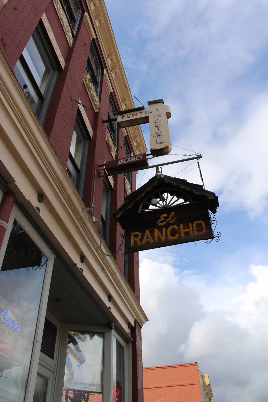
On a sunnier day,
we revisited Durango to enjoy what this quaint town had to offer. While Durango
began as a railroad town, it has grown into a booming mountain town. The
architecture in Durango is diverse and included the Strater Hotel, a prominent
historic downtown landmark. There were plenty of shopping opportunities
including “A Shared Blanket” with museum quality American Art and artifacts
where we purchased a Virgil Long Hopi Kachina to add to Sharon’s hand-carved
and painted collection. We enjoyed lunch at Nini’s Taqueria. Durango would be a
neat town to live in if it weren’t for the winter months!


PAGOSA
SPRINGS, CO
We packed up the
RV and headed to Pagosa Springs, only a few hours away. The Pagosa Riverside RV
Campground was very nice with a view of the San Juan River and San Juan
Mountains. We were here from May 8 through May 15. It was early in the season and the park had
just opened. Although it was spring time, it did snow a few times.


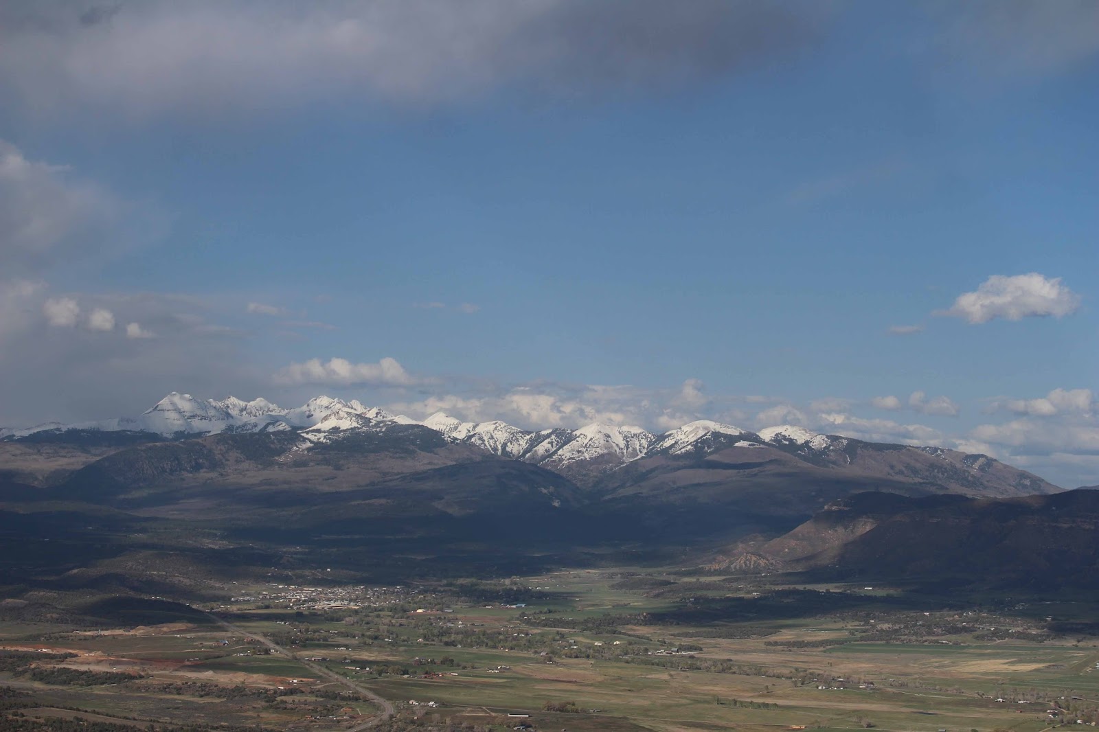
Located within the
San Juan National Forest amid the majestic San Juan Mountains, Pagosa Springs
offers a rich geological and cultural history to explore. Known for its
world-famous hot springs, “Pagosah” is the Southwestern Ute word for “healing
waters.” The soaring cliffs, jagged
peaks, magical alpine pools, undisturbed wilderness, cascading rivers, and soothing
hot springs reveal a dramatic geological history.
What we enjoyed
most about our stay here was the abundance of birds along the river. We set up
our bird feeder….if you feed them, they will come! It was very entertaining. We got out our bird
book and started to identify birds we had never seen before. This is one place
we really relaxed and did nothing, except for a couple of hikes to see
waterfalls!


Here are a few
photos of the many birds we saw during our stay in Pagosa Springs, which
included: Yellow Rumped Warbler, Canadian Geese, Western Scrub Jay, Downy
Woodpecker, Lewis’ Woodpecker (rare), Pine Siskin, Common Merganser,
Black-headed Grosbeak, Red backed Junco, Audubon’s Warbler, White crowned
Sparrow, White Breasted Nuthatcher, Red Winged Blackbird, American Robin,
Eurasian Dove and the Green Tailed Towhee.


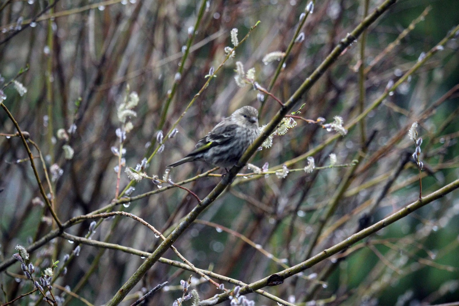


The Lewis’ Woodpecker was the most interesting bird. We thought woodpeckers ate bugs, but they were at our feeder daily. They would then take their seed to the tree and bury it in the bark – unusual behavior that we had never seen before, especially for a woodpecker!


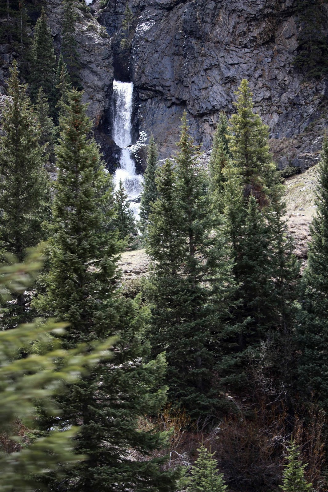
One day we took a
drive and hiked to Treasure Falls, a
short .5 mile easy trail to a bridge at the base of the falls. Treasure Falls
is named for Treasure Mountain, an area rich in folklore and stories of large
buried treasure. Most accounts suggest
that a treasure chest full of gold was buried in the area after a group of
Frenchmen were “waylaid” by either Spanish explorers or Native Americans. It
was a cold rainy day. While standing on the bridge, the falls rushed hundreds of
feet down the cliff toward us. Sharon made Mike climb higher toward the falls
for a photo opportunity. While Sharon watched from the bridge, she motioned
Mike to move closer toward the falls.
Luckily we had our rain jackets on.
Mike got very wet!!


We then took a very scenic drive through the San Juan Forest to hike to the Piedra Falls, a short .5 mile easy trail. On the way Mike spotted some deer grazing, a deer crossing the Piedra River, a blue bird, and a deer running along the hillside.


The Piedra Falls were impressive, thundering off two large steps among sheer volcanic cliffs into a V-shaped canyon of huge boulders. We enjoyed the very scenic and quiet hike through the forest.


On our way back
from Piedra Falls it was near dusk. We came upon more deer, but what we didn't expect was a red fox along the side of
the road carrying an egg of all things!!
Sharon was driving so she stopped and asked Mike to take a photo. He
opened the window and tried to take a photo and Sharon insisted that he get out
of the Jeep! Mike shot a few photos of the back of the fox as he walked away, but
then Sharon beeped the horn and the fox turned around and Mike got the shot
with the egg in its mouth!


When we left
Pagosa Springs, we checked the weather and the road conditions and it was
supposed to be clear. We left early so we could make it over Wolf Creek Pass in
the San Juan Mountain range, where the elevation is 10,857 feet. It is a high mountain pass on the Continental
Divide. The pass is significantly steep
on either side with a 6.8% maximum grade and can be dangerous in the
winter.
Wolf Creek Pass
was made famous in 1975 by country music artist C. W. McCall’s humorous spoken
word song of the same name, in which the pass is fondly described as “37 miles
o’hell – which is up on the Great Divide.”
In the song, two truckers drive an out-of-control 1948 Peterbilt down
U.S. Highway 160 to Pagosa Springs – a 5,000-foot drop in elevation. Here are a
few lyrics from the song:
“I looked at Earl and his eyes were wide,
his lip was curled, and his leg was fried. And his hand was froze to the wheel
like a tongue to a sled in the middle of a blizzard. I says, “Earl, I’m not the
type to complain, but the time has come for me to explain that if you don’t
apply some brake real soon, they’re gonna have to pick us up with a stick and a
spoon…”

When we were near
the top of Wolf Creek Pass it started to drizzle out and then the drizzle turned to snow. Three inches of snow accumulated very quickly
when two semi-trucks were stopped in front of us putting chains on their tires.
We had no chains (it’s the law) and if we had known it was going to snow we
would have never attempted the pass in our motorhome! We decided rather than turn around we would
follow the semi-trucks down the mountain and go very slow. Mike unhitched the
Jeep and Sharon followed. Mike pulled over to let traffic pass and when he pulled
back into traffic Sharon watched in horror as the back end of the motorhome
slipped toward the edge of the mountain!!
Luckily Mike pulled safely onto the road. We made it down the mountain
where blue skies and dry roads were a welcome sight! Here are a few photos of
our experience, not to be repeated! We were happy to arrive in Buena Vista for
a night on our way to Denver.

Our next blog will
be our adventure in Central City, CO near Denver!
Mike & Sharon
“You cannot travel the path until you have become the path
itself.”
Buddha