After getting safely
over the snow-covered Wolf Creek Pass we spent one night in Buena Vista midway between Pagosa Springs and Denver. We then headed up to the Central City KOA in
Colorado where we stayed from May 16 to May 25. The KOA is located in the Rocky Mountains at an elevation of 8,490,
one mile above the casino towns of Central City and Black Hawk and just 35
miles west of Denver. At this elevation you can expect snow in May!


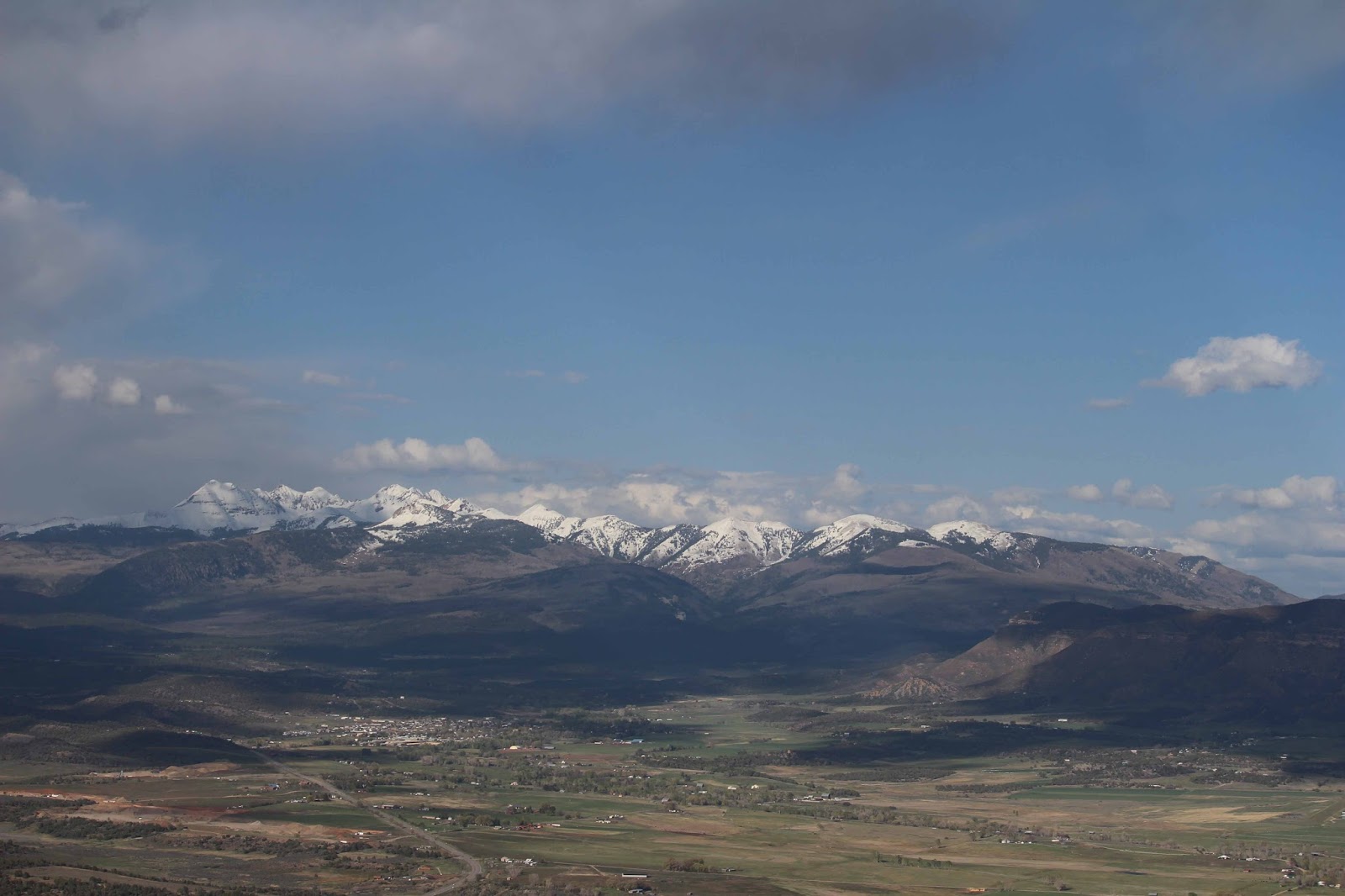
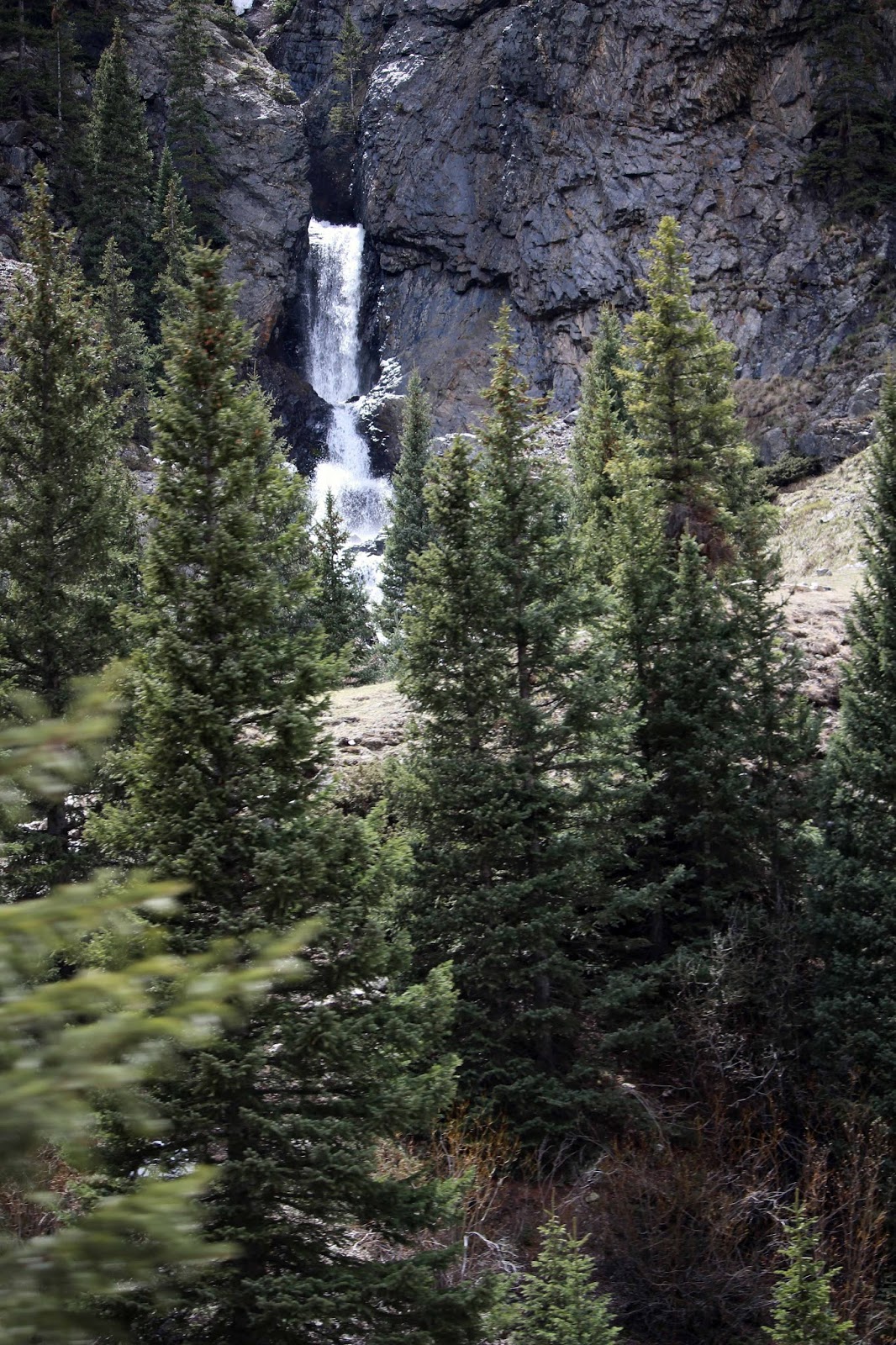
When Sharon picked
this location she thought it would be nice to be high in the Rocky Mountains
with a view overlooking the city. Here is the KOA on a sunnier day!


What we didn’t think about was altitude sickness which is an illness that can affect travelers at high altitude (typically above 8,000 feet). In most cases, the symptoms are mild, but in rare circumstances can be life threatening. Symptoms generally associated with mild to moderate sickness include dizziness, fatigue, headache, loss of appetite, nausea or vomiting, rapid pulse and shortness of breath. So we went to the local outfitter and got a couple of cans of oxygen to use if we went hiking.
In hindsight we
should have started at a lower altitude to get acclimated before going to a
higher altitude. After about 10 days at the KOA, Mike ended up in the urgent
care with shortness of breath, especially at night. The doctor prescribed a tank of oxygen that he
used at night. Needless to say we didn’t do any hiking or exert any energy
during our stay. The weather also prevented us from enjoying our time in the
Denver area! Between snow, rain and a lot of flooding in the area, we stayed
home. Locals kept saying “this is very
unusual for this time of year!” And the local weather broadcast had a cute
video of a hummingbird with the caption “Springtime in Colorado.” Then the
video changed to a rainy, dreary scene with the caption “We’re tired of it,
too!”
Idaho
Springs, CO
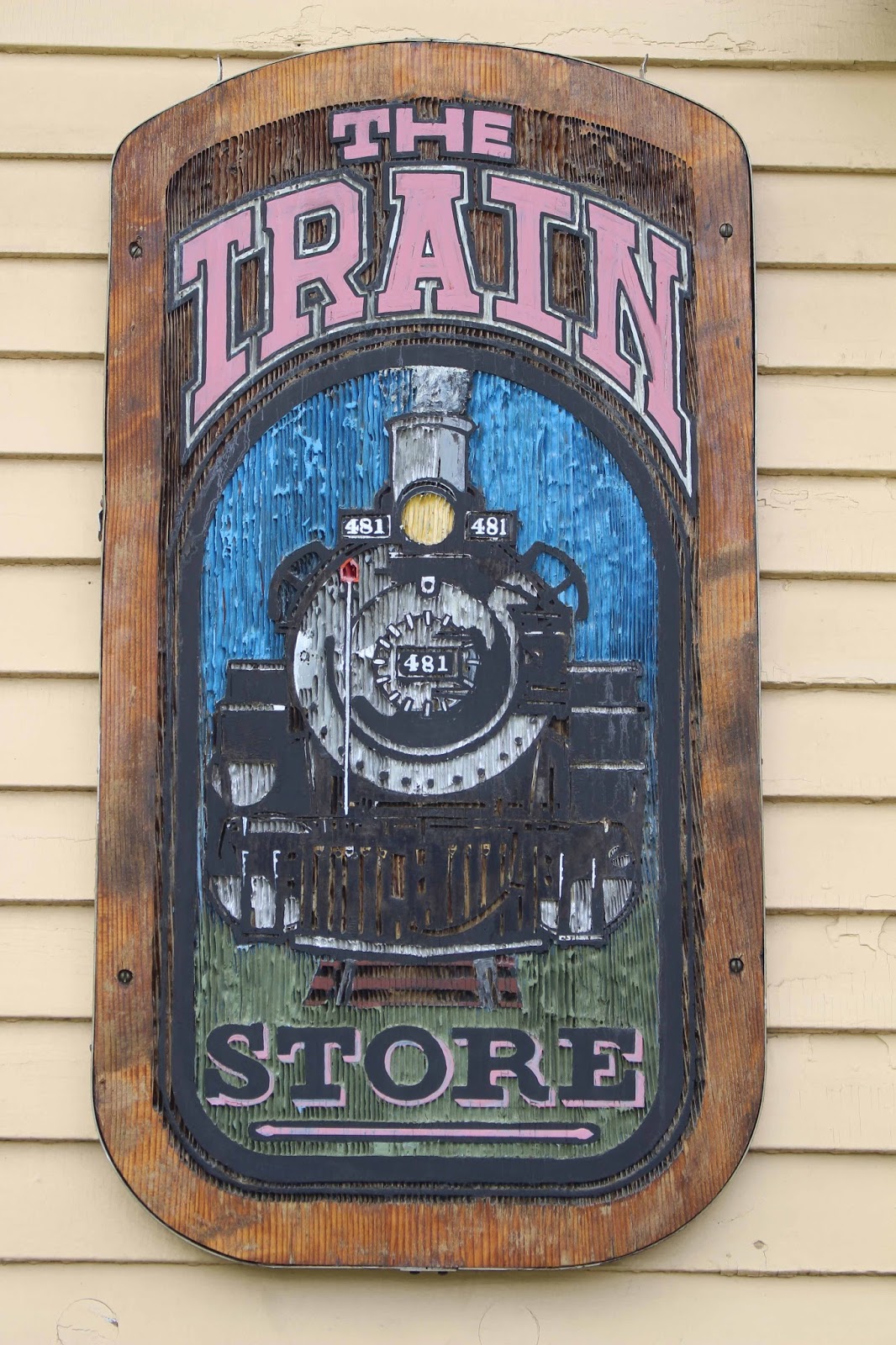
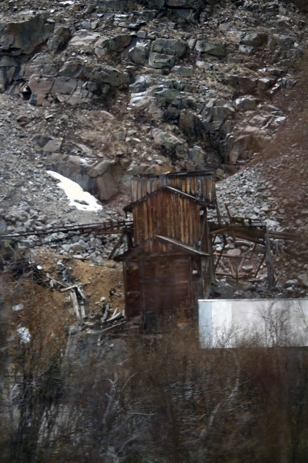
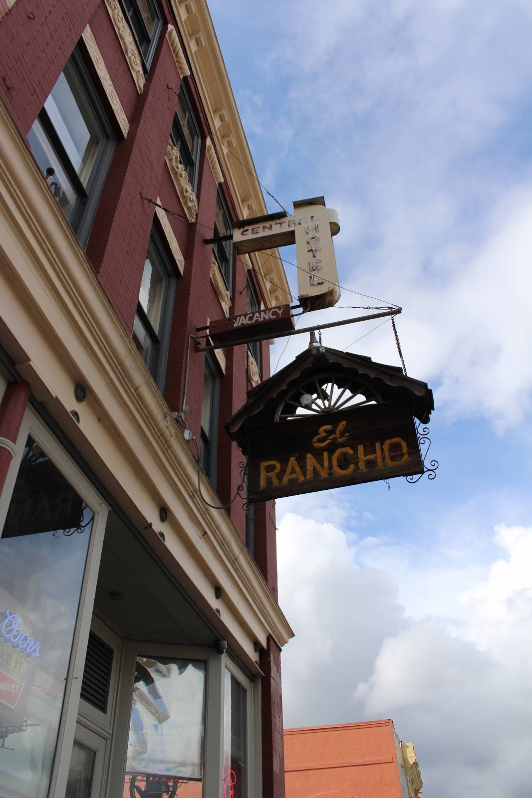
 The only thing we
did was visit nearby Idaho Springs and ate lunch at Tommyknocker Brewery &
Pub on Miner Street. When the Cornish miners came from the tin mines in
Cornwall to work in the gold mines of Colorado during the 1860’s, they brought
with them their own elves. These
Tommyknockers lived in the mines and were responsible for all kinds of
mischief: snuffing out candles, eating lunches and stealing tools! If a miner was kind and left out food for the
Tommyknockers, they often rewarded him by leading him to a rich vein or even
the “mother lode” by tapping on the rock walls of the mine. Many a miner
claimed to have been saved by a Tommyknockers warning of impending danger.
The only thing we
did was visit nearby Idaho Springs and ate lunch at Tommyknocker Brewery &
Pub on Miner Street. When the Cornish miners came from the tin mines in
Cornwall to work in the gold mines of Colorado during the 1860’s, they brought
with them their own elves. These
Tommyknockers lived in the mines and were responsible for all kinds of
mischief: snuffing out candles, eating lunches and stealing tools! If a miner was kind and left out food for the
Tommyknockers, they often rewarded him by leading him to a rich vein or even
the “mother lode” by tapping on the rock walls of the mine. Many a miner
claimed to have been saved by a Tommyknockers warning of impending danger.


Moved to
a Lower Elevation in Golden, CO
Even on the oxygen,
Mike still had a difficult time breathing, so we cancelled the rest of our stay
at the KOA and got a reservation at Dakota Ridge RV Resort from May 25 thru May 30. Our RV friends, Nancy and Terry recommended
it. We got a great site, easy pull-thru with views of the Rocky Mountains and
the Denver skyline. We heard coyotes at night and the elevation was only 5,674
feet. What more could we ask for!

Before we exited
the highway to the RV Park we noticed a herd of Buffalo. So we hurried to
check-in at the RV Park and drove back to see the herd which included some
young calves.


While in Golden we ate at the Old Capital Grill located in one of Colorado’s most historic buildings built in 1863. The building served as the Territorial Capitol for Colorado until statehood was declared and the capitol moved to Denver. The photos on the walls told a story of a fire that destroyed the upper portion of the landmark in 2005. Upon arrival fire crews were met with heavy fire on the roof and second floor. The building did not have a sprinkler system. A second alarm brought mutual aid departments to the scene. The building was restored, making it look more historic after the fire than it did before!


When the weather
cooperated, we visited a nearby town called Lakewood and ate lunch at the Yard
House, a national chain with good food! Mike
always finds rock shops wherever we go so we tracked down a couple of shops.
Our favorite shop was Rustic Relics, a unique rock and antique shop on Kipling Street in
Lakewood. We met the owner, Linda who is
a geologist and her husband, Jim, is a geology professor. Sharon purchased a
gem-quality aquamarine that Linda found and an aquamarine that Linda’s husband
found, while rock hounding on Mount Antero.

Aquamarine is a semi-precious gemstone and is
the green-blue to blue variety of the mineral beryl. In general, the purer and
more intense the blue color, the more valuable the stone.
Here is the aquamarine found by Jim.

Here is the gem-quality aquamarine found by Linda.

And to Sharon’s surprise, Linda gifted a topaz stone to her that Linda had found in Utah. Topaz is a lustrous and brilliant gem stone and has an exceptionally wide color range that, besides brown, includes various tones and saturations of blue, green, yellow, orange, red, pink, purple and colorless. Sharon will design some jewelry using these stones in the rough. After an interesting conversation with Linda she said if we come back to this area she and husband would take us rock hounding on Mount Antero! One of the benefits of meeting people in our travels!
Here is the topaz found by Linda in Utah.

We plan to come
back to the Denver area next year during the summer months when the weather
should be better for exploring the Rocky Mountains and go rock hounding on
Mount Antero (known for aquamarine and the Prospectors show on the weather
channel) with Linda and her husband!

Here is a 6.90 cts, 20x9 mm, clean aquamarine stone, rich blue green. Found
by Jim Grika in 1988 and cut by Robert Spomer of Buena Vista Gem Works.
Currently in the collection of Steve Green, Rough and Ready Gems. Photo by
Steve Green. If we could only be so lucky!

Our next blogs
will feature our long-awaited Yellowstone adventure in Moran, WY (south
Yellowstone) and Livingston, MT (north Yellowstone). Stay tuned!
Mike & Sharon
“Take the time to dream – It is hitching your wagon to a star.
Take time to love and to be loved – Take time to look around – It is too short
a day to be closed in. Take time to laugh – It is the music of the soul.”
Old English Prayer


